Black Canyon Guided Backpacking Trips
Black Canyon of the Yellowstone & The Yellowstone River Trail
North Central Yellowstone - 4 Days/3 Nights
2027 Dates: May 10th-13th, May 17th-20th
Highlights: The Yellowstone River, Wildlife & Rugged Canyon Views
Tour Price: $1,200 per person
Difficulty: Easy to Moderate
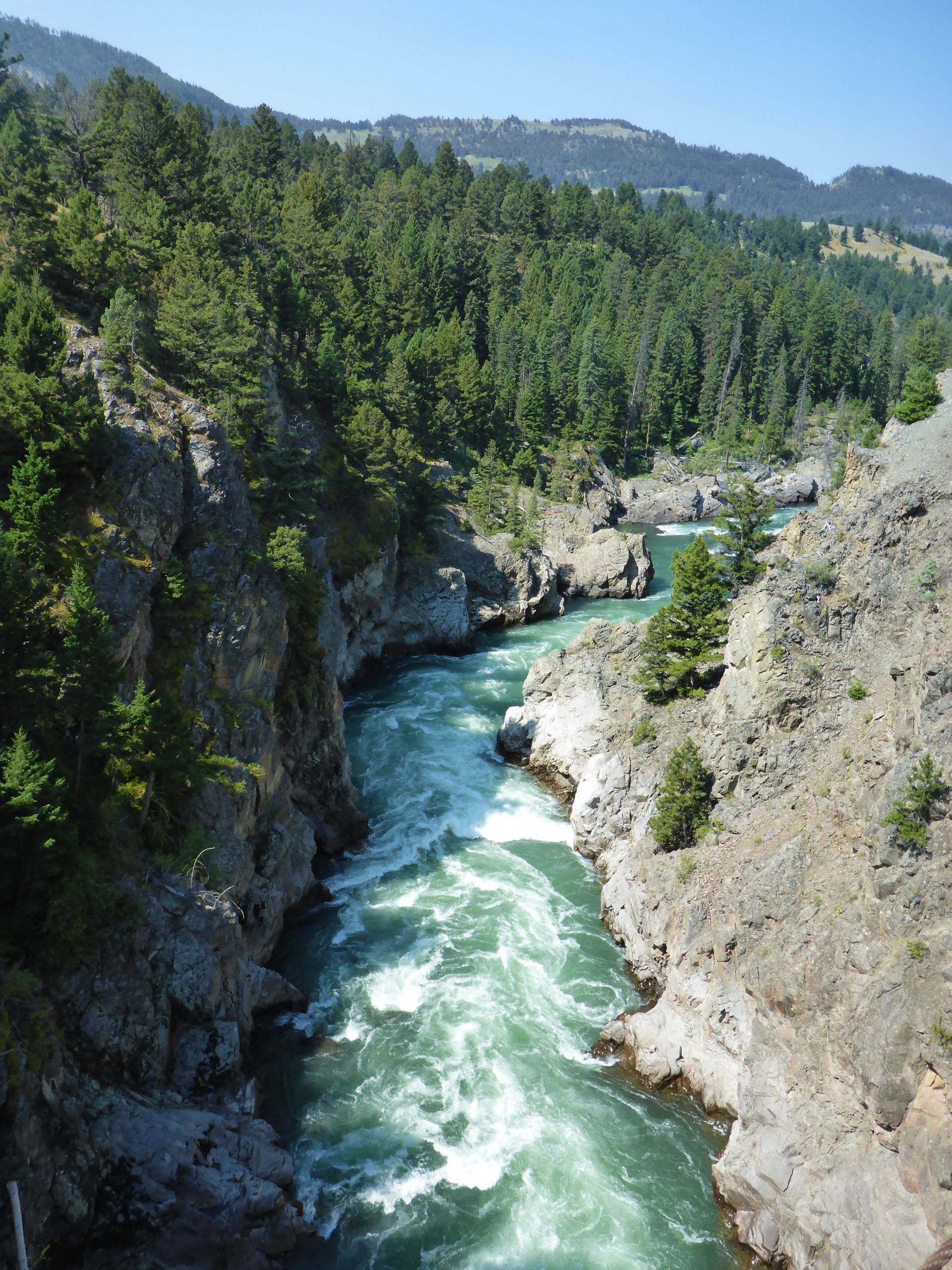
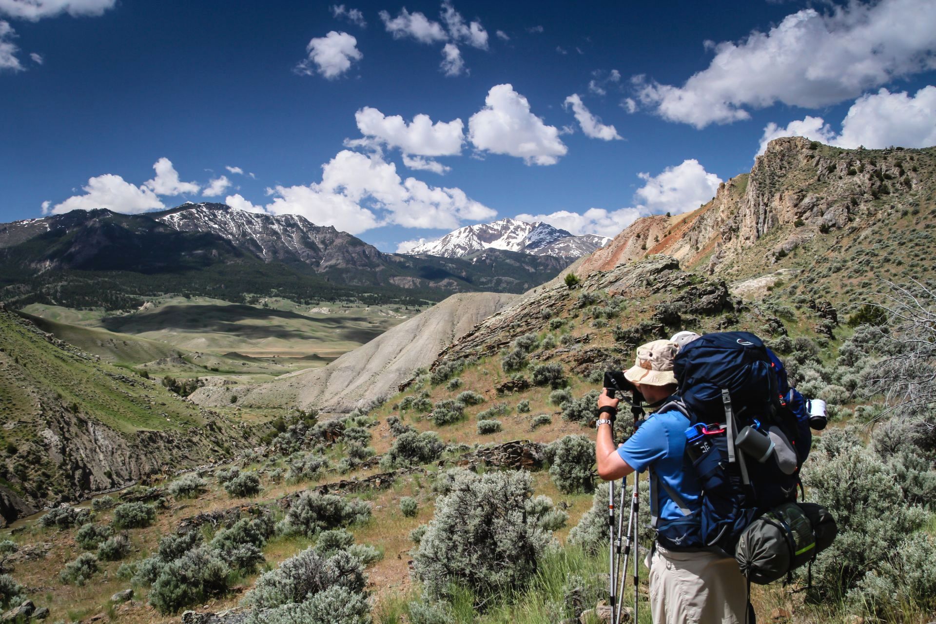
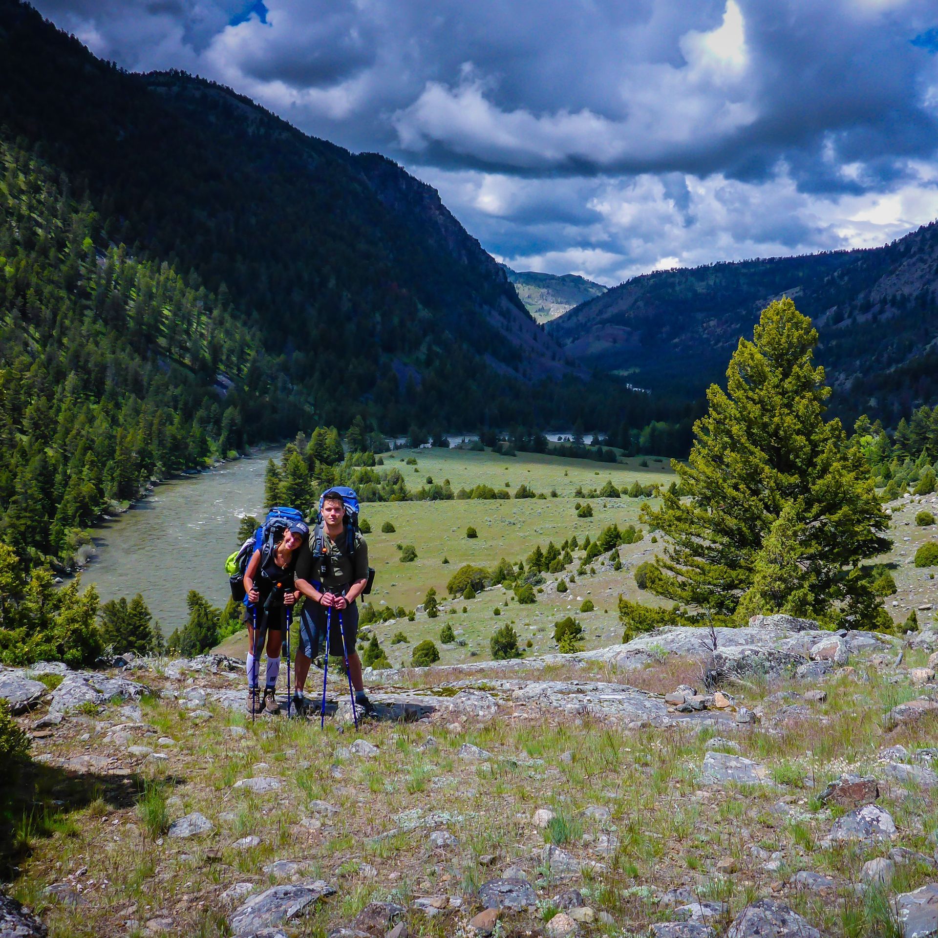
From start to finish the Black Canyon is a relaxing four day guided adventure with a variety of scenery that provides a nice sample of Yellowstone's rugged northern landscapes. Explore this wild and scenic canyon carved by the powerful Yellowstone River and follow one of America's last free-flowing waterways as it crosses the northern edge of Yellowstone National Park on its 671 mile journey to the Missouri River.
Click any image below to open a slide show.
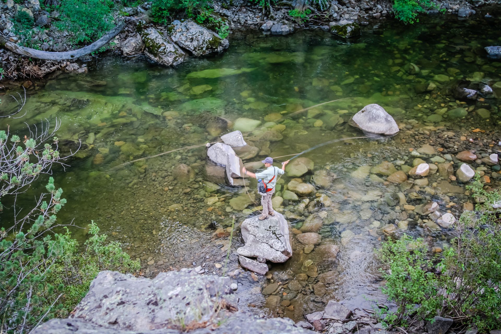
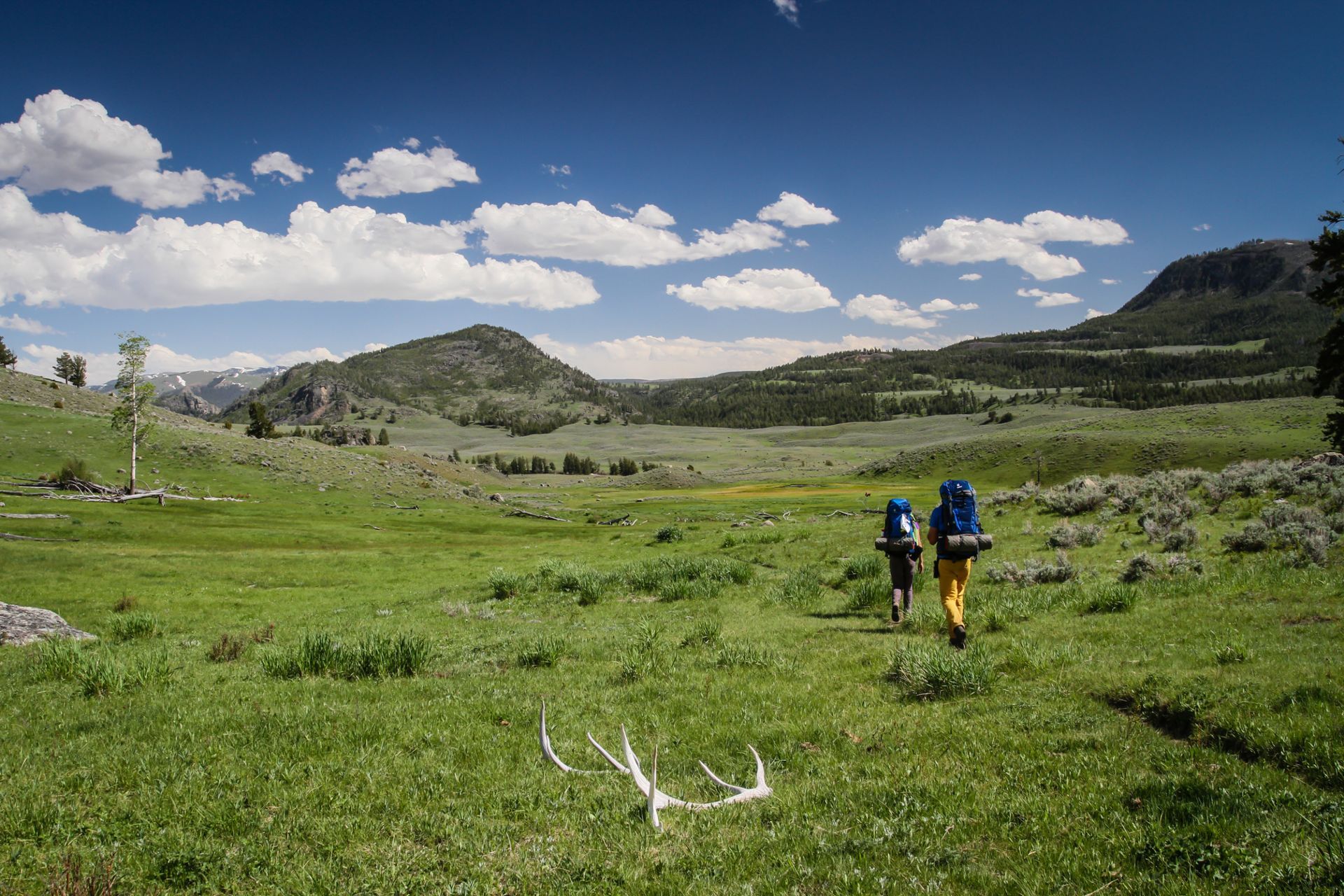
Black Canyon Overview
Black Canyon of the Yellowstone Guided Backpacking Trip - May 10-13 & May 17-20, 2027
Pricing: $1,200 per person
Length: 4 Days/3 Nights
Distance: 31.4 mi/50.5 km
Trip Type: Guided Backpacking
Average Elevations: 5,300-6,800 ft/1,615-2,072 m
Maximum Elevation: 6,800 ft/2,072 m
Total Ascent: 3,875 ft/1,180 m
Location: North Central Yellowstone
When to Visit: May-Early September
Difficulty: Easy to Moderate
Route: Point-to-point
Group Size: 2-5 people
Age Limit: 14+
Highlights: The Yellowstone River, Wildlife, Rugged Canyon Views & Wildflowers!
Potential Wildlife: Bison, Elk, Black Bear, Grizzly Bears, Bighorn Sheep, Osprey and American Pronghorn.
QUESTIONS? CALL: +1-406-595-1823
2027 Trip Dates & Pricing
Price includes equipment rentals and backcountry meals and snacks. See the "General Information" section below for additional details.
| Dates | Pricing Per Person |
|---|---|
| May 10-13 | $1,200 |
| May 17-20 | $1,200 |
Black Canyon Itinerary
Day 1: Moderate - 6-8 mi/9.6-12.8 km
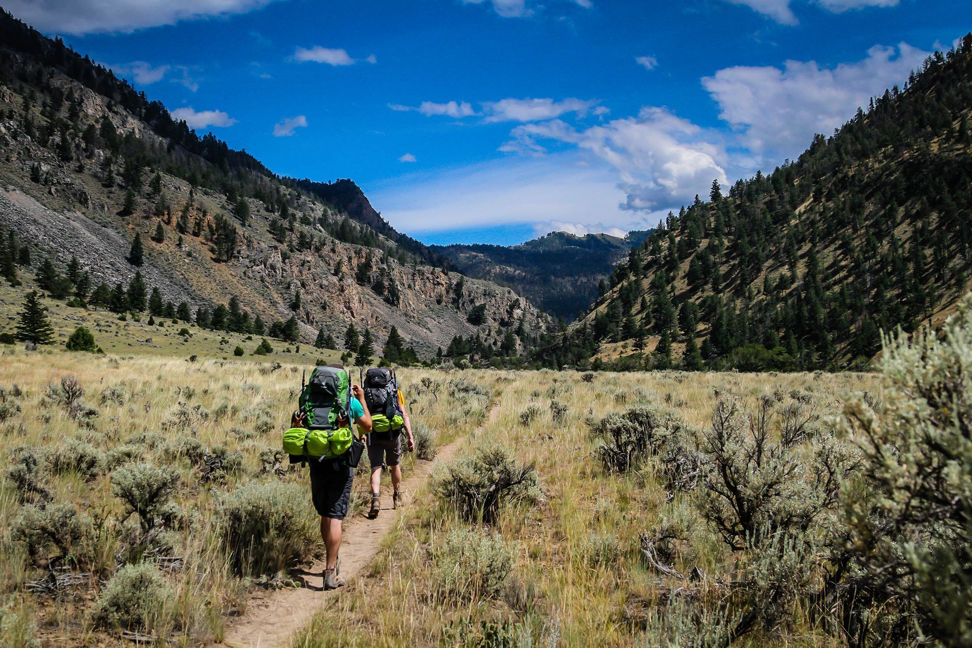
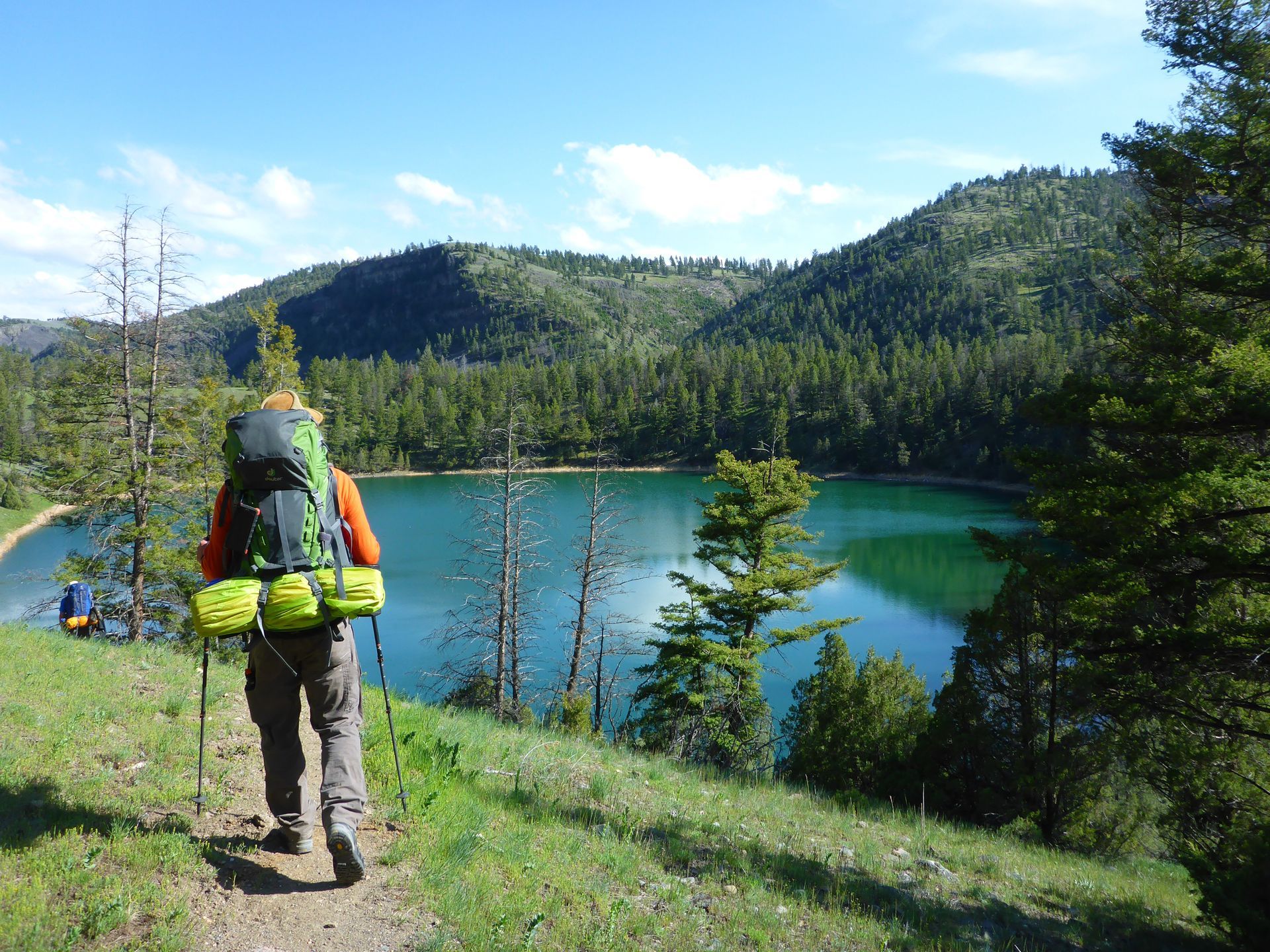
From the town of Bozeman the trailhead is located about 1.5 hours from the small gateway community of Gardiner, Montana. Our hike into the Black Canyon begins high above the Yellowstone River at the Eagle Creek Campground just north of town. This is a moderate day of hiking with an initial descent of 700 ft. (213 m). After reaching the Yellowstone River the trail heads east through open meadows filled with sagebrush, Douglas firs and gnarled juniper trees. Mule deer, bighorn sheep and American pronghorn can often be found grazing among the many open spaces that border the Yellowstone River. Our first campsite for the evening is located near the crystal clear waters of Crevice Lake, or just east of the Yellowstone River Bridge.
Day 2: Moderate - 6-8 mi/9.6-12.8 km
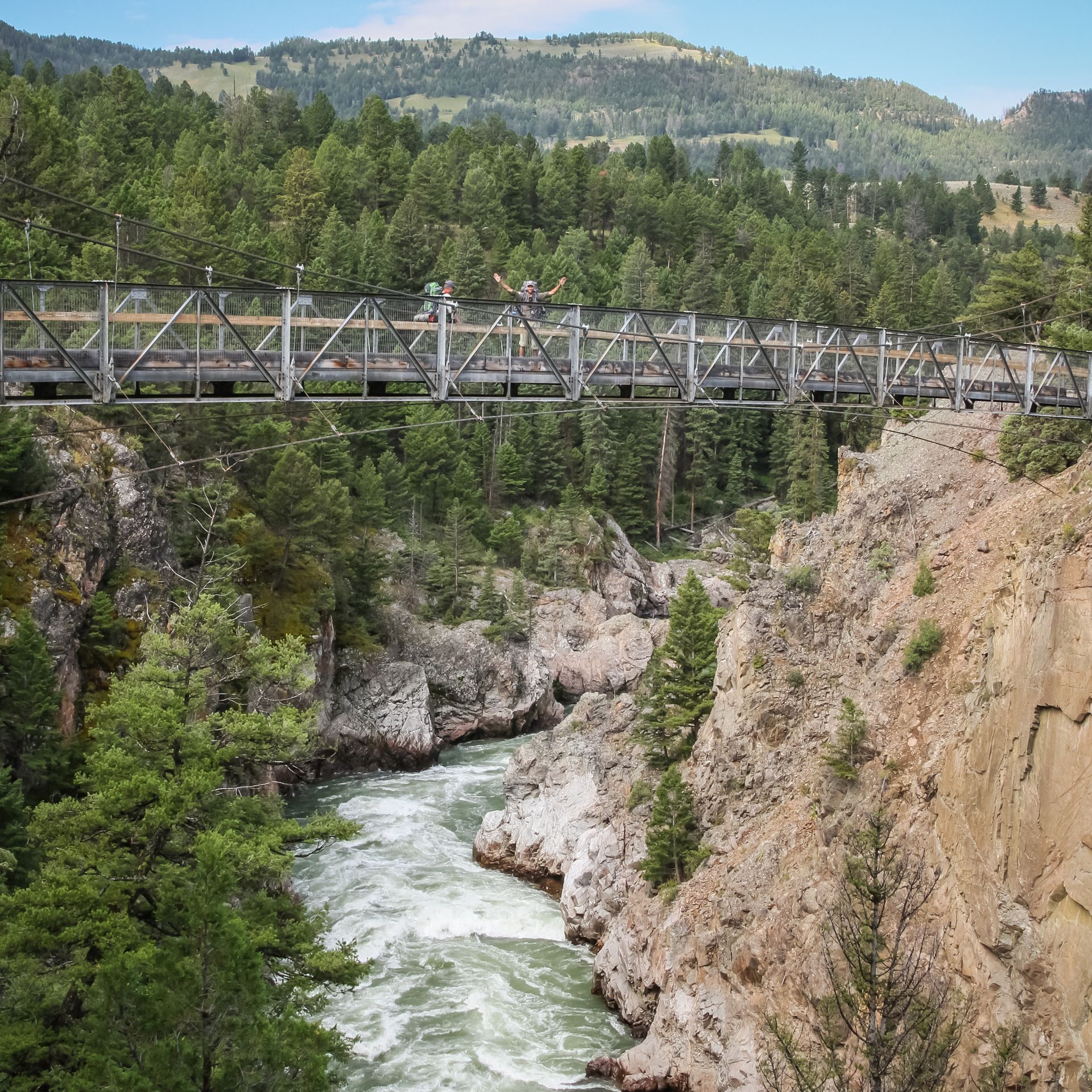
On day two the trail continues through grassy meadows along generally flat terrain that hugs the towering walls of the Black Canyon. Crevice Lake appears on our right almost immediately after departing our first campsite and you'll often see a variety of waterfowl enjoying its clear and calm waters. A short distance from Crevice Lake the Blacktail Deer Creek Trail joins the Yellowstone River Trail. An alternate backcountry campsite is located on the south side of the river just east of the suspension bridge. We'll make a quick detour to the bridge with the hope of observing the osprey that nest in the area. These graceful birds are excellent fishermen and are often spotted perched on the tops of nearby trees, or cruising high above the river scanning for fish. They perform dramatic aerial dives, snatching their unsuspecting prey from the river with powerful talons.
After this brief detour we'll continue heading east along the Yellowstone River. The hiking in this area is generally very relaxing. Open meadows are dotted with a variety of brightly colored wildflowers and aromatic sagebrush, and steep talus slopes descend from the high plateaus bordering the canyon.
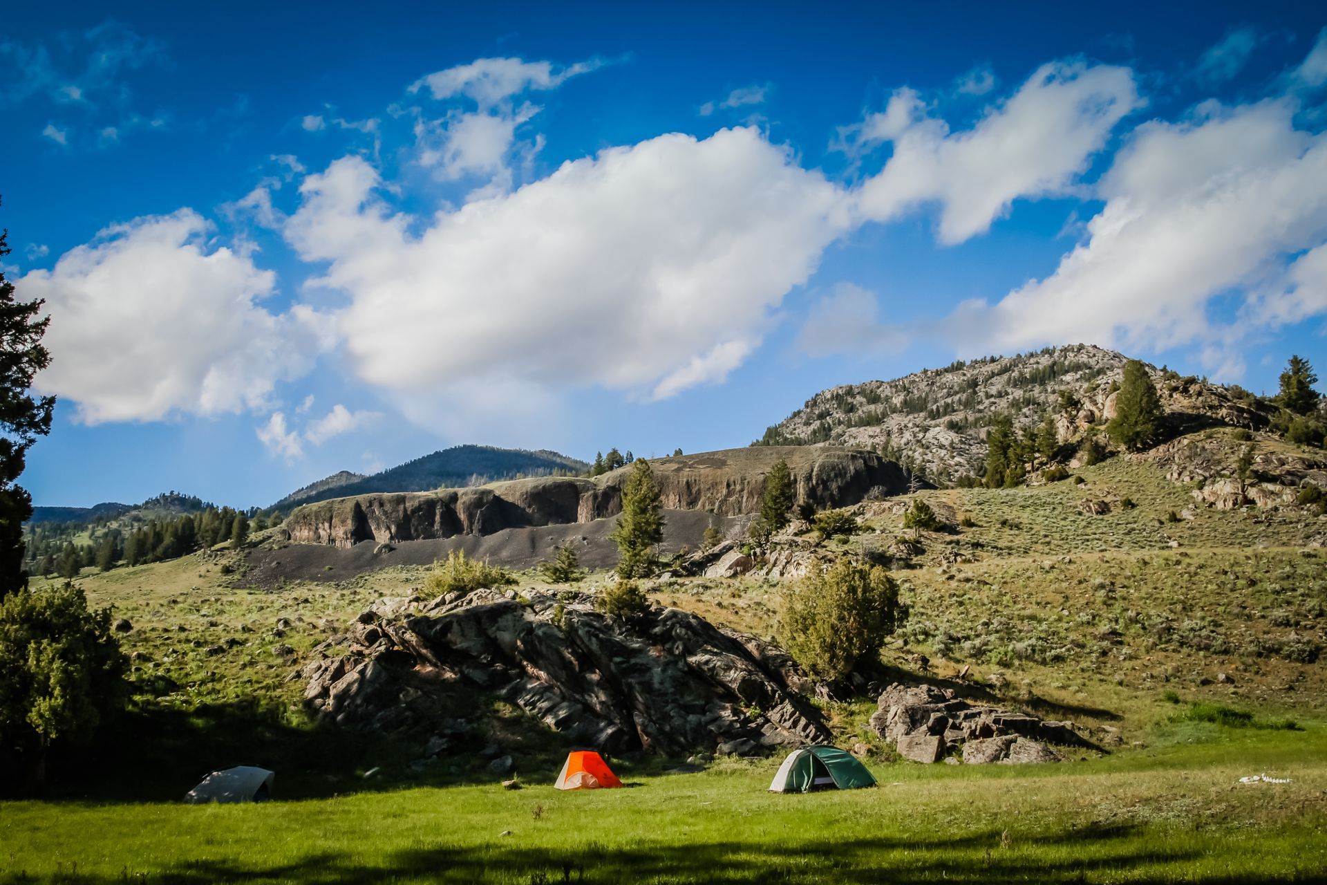
After a full day of hiking we find ourselves at the base of the massive Buffalo Plateau and Hellroaring Mountain. Mule deer, pronghorn, elk and bison frequent this area and Red-tailed Hawks circle high overhead. Our final campsite sits beside Hellroaring Creek where you'll be treated to sweeping panoramas that ascend toward the northern boundary of Yellowstone National Park. This campsite is a guide favorite.
Day 3: Moderate - 6-8 mi/9.6-12.8 km
Leaving our campsite beside Hellroaring Creek we head north for about two miles to a sturdy wooden footbridge that takes us across this tumultuous mountain stream. Clusters of Arrowleaf Balsamroot fill the meadows bordering the creek and elk, bison and pronghorn can often be found grazing along these grassy slopes. From this point we begin our gradual descent along the east side of Hellroaring Creek to the junction with the Buffalo Plateau and Coyote Creek Trails. From this juncture we turn north once again, climbing gradually to our final campsite beside Coyote Creek.
Day 4: Moderate - 6-8 mi/9.6-12.8 km
On our last day we head south along the Coyote Creek Trail once again, enjoying the sweeping views of the rolling hillsides that descend from the north. After about 4.o miles we'll reach the high and narrow suspension bridge that spans the Yellowstone River. This is a great spot for photos as the river passes through this narrow canyon. In another 0.2 miles we join the Garnet Hill Loop Trail and traverse the northern end of this loop as it follows the Yellowstone River southeast toward Tower Junction and our final destination. From Tower Junction it's about a 2-2.5 hour ride back to Bozeman with stops in Mammoth Hot Springs, Gardiner and the Eagle Creek Campground.
NOTE: This trip is a point-to-point trek and we may travel in the opposite direction (west to east), beginning at Tower Junction or the Hellroaring Creek Trailhead, hiking west to the Eagle Creek Campground near Gardiner, Montana.
General Trip Information
Guest Reviews
Riccardo D.
"For us it was the first time in Yellowstone (we are two Italian guys) and we decided to do three days in the Black Canyon. Brian is careful and prepared, friendly and was willing to answer all our questions. Now just waiting to get the photos to complete this wonderful adventure!! Thanks Brian"